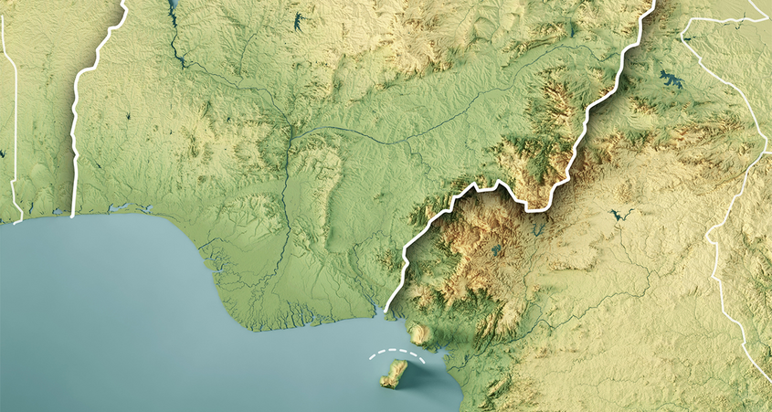
Asseco will make aerial maps of Nigeria's Lagos state using unmanned systems

Asseco will make aerial maps of the entire Lagos State using the previously supplied unmanned systems equipped with Asseco GCS (Ground Control Station) software. The project is a continuation of cooperation with the Ministry of Science and Technology of the Nigerian state of Lagos and Asseco Nigeria. This is the first mapping of such a large area in Africa, reaching over 3.5k km2, by means of drones. As part of this project, Asseco Poland will provide more unmanned systems, consulting services and training.
The project in which Asseco is engaged is an important component of the geographic information system (eGIS) being developed by the State of Lagos. The objective is to acquire maps of a vast area of the agglomeration, which will then be processed and made available on a geo-portal. Data analysis will allow for more effective planning of the region's development, management of its spatial resources, as well as monitoring of environmental pollution. It is also a valuable source of information for local residents and investors.
Several years of cooperation with the Ministry of Science and Technology of the Nigerian state of Lagos is continued and expanded in other projects. Three years ago we provided UAVs for photogrammetric missions, but due to administrative reasons the mapping of the region can only take place now. This is the first such large project in Africa, where over 3.k km2 of terrain will be analyzed using unmanned systems with proprietary software. The implementation is executed in cooperation with Asseco Nigeria, which resulted in the transfer of knowledge that will enable us to take on more international challenges, says Tomasz Mosiej, Director, International Organizations and Security Solutions Division, Asseco Poland.
Africa is the strategic direction of development of the Asseco Group. I am glad that as Asseco Nigeria we are gradually building our position and winning new contracts, while supporting the country's development. The mapping of the Lagos State is a huge technological leap and an opportunity to accelerate the region's development. It is also an opportunity for Asseco Nigeria to expand its competence and develop international cooperation. This is yet another project that shows how much potential we have when acting as a group, emphasizes Simon Melchior, CEO, Asseco Software Nigeria.
The Lagos State land mapping project is expected to be completed in 2022.
